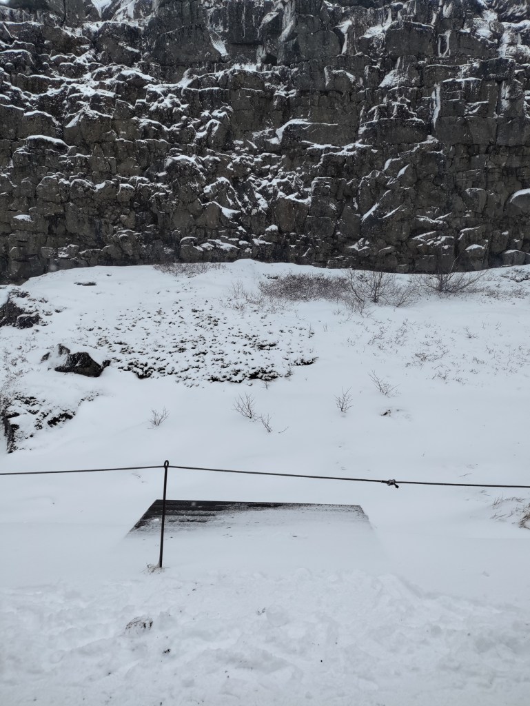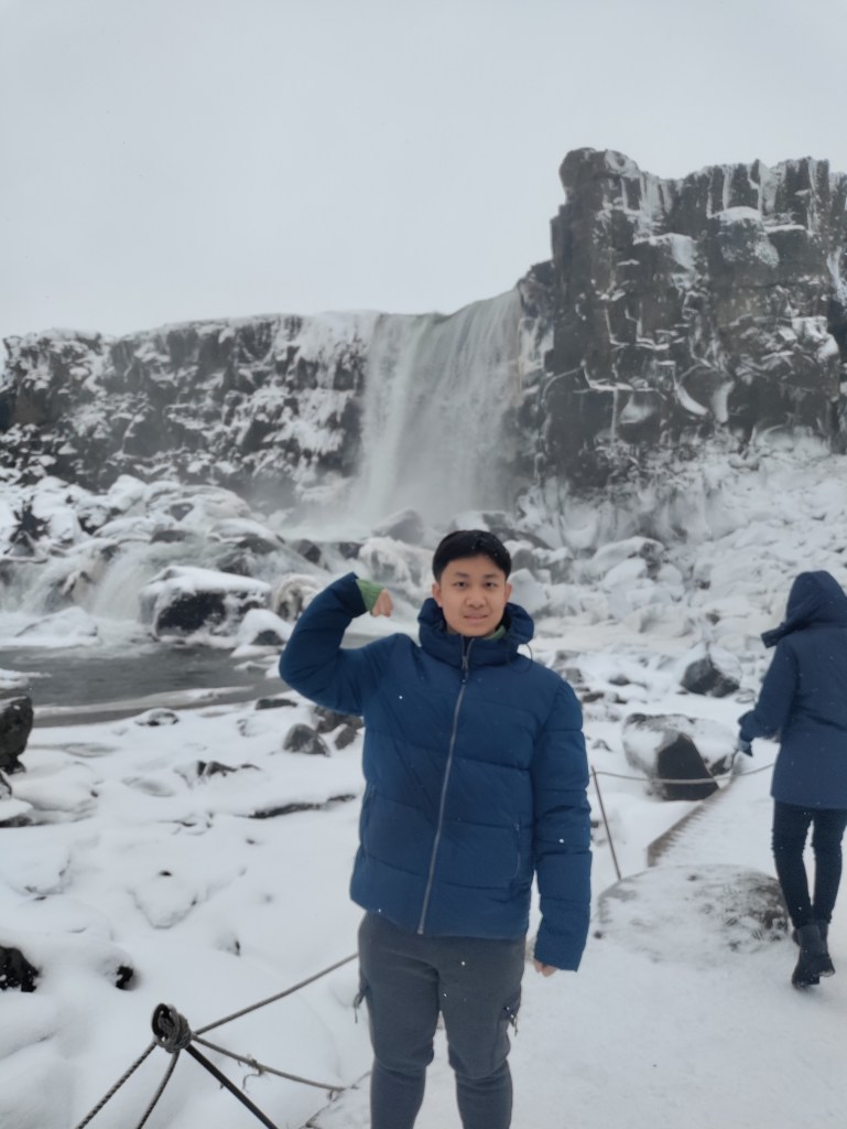
For the first part of our third day, we visited Thingvellir National Park, where the Althing was held during the days of the Icelandic Commonwealth. The park is in the middle of the rift zone that crosses Iceland, where the North American and Eurasian plates are separating and tearing apart from each other. Much of the park is composed of a Graben, essentially a chunk of land that has sunk below the surrounding area that occurs in rift zones. In fact, the floor of the valley Thingvellir is situated in has sunken by 4 meters since the settlement of Iceland; the landscape is very much still active! The graben has created a relatively flat area where water can collect, and as a result, Thingvellier is home to Iceland’s largest natural lake, Thingvallavatn. The edges of the graben can be seen easily, there are two low, parallel cliffs that line against the lake. Along one stretch of cliff, the Lawspeaker would proclaim the laws that had been passed during the althings. The flat landscape and lake created by rifting provided plenty of space and fresh water for the attendees of the Althings. Ultimately, I think so far, Thingvellier has been one of my favorite examples of how geology and the environment shape societies in general and Icelandic history in general.